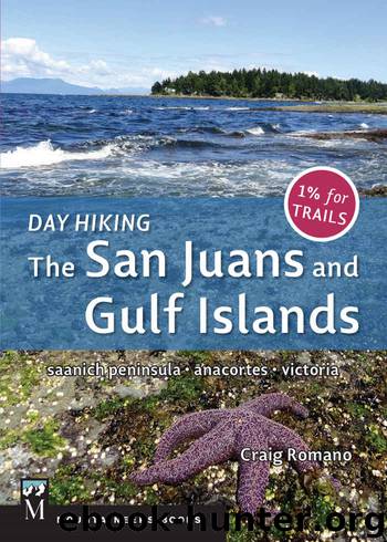
Day Hiking: The San Juans & Gulf Islands: National Parks * Anacortes * Victoria by Craig Romano

Author:Craig Romano [Romano, Craig]
Language: eng
Format: azw3, epub
Publisher: Mountaineers Books
Published: 2014-05-21T04:00:00+00:00
ON THE TRAIL
This is a two-for-one hike: one trip out and back to Ev Henry Finger and another to Johnson Point.
Ev Henry Finger: From dock 2, head left through a picnic and camping area that occupies the isthmus between Fossil Bay and Fox Cove. Look out into Fox Cove Bay for its famous mushroom rock. At 0.2 mile (0.3 km), turn left onto the Ev Henry Loop and start climbing along steep ledges (elev. 75 ft/23 m) above Fossil Bay. After a few ups and downs, aided by steps, come to the loop junction at 0.5 mile (0.8 km).
Go left (you’ll be returning from the right) through a salal jungle, climbing about 75 feet (23 m) and reaching Ev Henry Point at 0.9 mile (1.4 km). From this grassy bluff, the views of Matia, Orcas, Waldron, Pender, and Saturna islands, as well as Mount Baker, are breathtaking. This point was named after yachtsman Everett (Ev) Henry, who led a drive to purchase Sucia from developers who wanted to subdivide it for vacation homes. Henry’s campaign was a success, with his purchases later donated to the state for a park.
Continue on the loop, hovering on a high bluff (elev. 100 ft/30 m) above sandstone-shelved beaches (which can be explored at low tide). At 1.4 miles (2.3 km), close the loop. Then retrace your steps 0.5 mile (0.8 km) back to the dock. On your return, consider a 0.6-mile (1-km) roundtrip side trip to 75-foot (23-m) Fox Point for nice views of Ev Henry Finger, Little Sucia Island, and Fox Cove.
Johnson Point: From dock 2, walk north past the dock to a very informative kiosk about the park. Then pass spurs to Fossil Bay dock 1, reaching a service road. Go right and then left, hiking past the park maintenance buildings and skirting Mud Bay. Pass the Mud Bay Trail (hikable only at low tide) and reach a junction with the Johnson Point Trail (elev. 70 ft/21 m) at 0.3 mile (0.5 km).
Head right, walking up and down along a forested ridge (elev. 110 ft/34 m) to a junction at 0.8 mile (1.3 km). The trail right drops to Snoring Bay and camps before continuing to the tip of Wiggins Head, a 0.5-mile (0.8-km) side trip one-way and well worth the effort. For Johnson Point, continue straight ahead through madrona and fir forests, going up and over ledges above Snoring Bay.
Download
Day Hiking: The San Juans & Gulf Islands: National Parks * Anacortes * Victoria by Craig Romano.epub
This site does not store any files on its server. We only index and link to content provided by other sites. Please contact the content providers to delete copyright contents if any and email us, we'll remove relevant links or contents immediately.
Giovanni's Room by James Baldwin(5892)
The Plant Paradox by Dr. Steven R. Gundry M.D(2047)
The Stranger in the Woods by Michael Finkel(1929)
Miami by Joan Didion(1883)
DK Eyewitness Top 10 Travel Guides Orlando by DK(1818)
Vacationland by John Hodgman(1777)
Trail Magic by Trevelyan Quest Edwards & Hazel Edwards(1763)
Wild: From Lost to Found on the Pacific Crest Trail by Cheryl Strayed(1745)
INTO THE WILD by Jon Krakauer(1730)
The Twilight Saga Collection by Stephenie Meyer(1724)
Nomadland by Jessica Bruder(1688)
Birds of the Pacific Northwest by Shewey John; Blount Tim;(1608)
Portland: Including the Coast, Mounts Hood and St. Helens, and the Santiam River by Paul Gerald(1583)
The Last Flight by Julie Clark(1499)
On Trails by Robert Moor(1480)
Deep South by Paul Theroux(1478)
Trees and Shrubs of the Pacific Northwest by Mark Turner(1431)
Blue Highways by William Least Heat-Moon(1382)
1,000 Places to See in the United States and Canada Before You Die (1,000 Places to See in the United States & Canada Before You) by Patricia Schultz(1298)
